

Trouvons votre prochaine opportunité
Assistant IA: {{ chat.assistant.message }}
{{meta?.totalCount}}
résultats trouvés
Trier par
{{ job.job_posting_title
}}
{{ job.job_posting_title }}
{{ job.is_cms_job ? (job.cities.split(';').length > 1 ? 'Emplacements multiples' : job.location_mappings[0]) : (job.location_mappings.length > 1 ? 'Emplacements multiples' : job.location_mappings[0]) }}

Nous sommes désolés, aucun poste ne correspond exactement à vos critères. Essayez un autre terme de recherche ou utilisez les filtres pour continuer votre recherche.
Suggestions de postes correspondants
{{ job.title }}
{{ job.title }}
{{ [job.cities[0], job.regions[0], job.countries[0]].join(', ') }}
Emplacements multiples
Nous sommes désolés, aucun poste ne correspond exactement à vos critères. Essayez un autre terme de recherche ou utilisez les filtres pour continuer votre recherche.
Trouvons votre prochaine opportunité
{{ job.job_posting_title
}}
{{ job.job_posting_title }}
{{ job.is_cms_job ? (job.cities.split(';').length > 1 ? 'Emplacements multiples' : job.location_mappings[0]) : (job.location_mappings.length > 1 ? 'Emplacements multiples' : job.location_mappings[0]) }}
Sur cette page
Riyadh, Riyad, Arabie saoudite
Overview
A Surveyor is responsible for measuring land, determining boundaries, and collecting precise data used for planning and executing construction, roadwork, infrastructure, and mapping projects.
Surveyors use specialized instruments such as Total Stations, GPS/GNSS, Auto Level, and digital mapping tools to provide accurate coordinates, elevations, levels, and site layouts.
Your role
- Conduct topographic surveys to map existing ground conditions.
- Perform leveling using Auto Level / Digital Level.
- Set out alignments, centerlines, offsets, and benchmarks for construction activities.
- Execute boundary surveys and verify land limits.
- Convert field measurements into drawings, maps, and digital models.
- Maintain survey records, field books, and daily logs.
- Submit, update, and verify as-built drawings.
- Work closely with site engineers, project managers, and design teams.
- Support execution teams with elevation checks, slope verification, and layout corrections.
Lieu
Riyadh, Riyad, Arabie saoudite
Type de poste
Temps plein
Réf
R-146225
Échelle salariale
-
About you
- Proficiency in Total Station, GPS/GNSS, Auto Level, Laser Level.
- Understanding of topographic mapping, leveling, contouring, and volume calculation.
- Ability to interpret construction drawings and cross-sections.
- Experience with survey software such as: AutoCAD, Civil 3D, GIS tools, Survey data transfer software.

Pourquoi choisir AtkinsRéalis?
Quel que soit votre parcours professionnel, AtkinsRéalis est fait pour vous. Nous avons créé une culture dynamique où chacun fait partie d’une communauté. Un lieu riche en collaborations et en expériences de diversité, où vous pouvez développer votre carrière à votre manière. Participez à des projets qui repoussent les limites et ont un impact durable. Contribuez de manière significative et soyez remarqué, célébré et valorisé. Venez rejoindre une équipe motivée qui vous inspire et vous laisse briller pleinement.
Rewards & benefits
Explore the rewards and benefits that help you thrive – at every stage of your life and your career.
This includes:
- Tax-free salary.
- Life insurance coverage.
- Medical insurance.
- Annual leave balance.
- Company gratuity scheme.
- Discretionary bonus program.
- Annual flight contribution.
- Transportation & housing allowances.
- Employee Wellbeing Program: 24/7 access to specialists in finance, legal matters, family care, personal health, fitness, and nutrition.
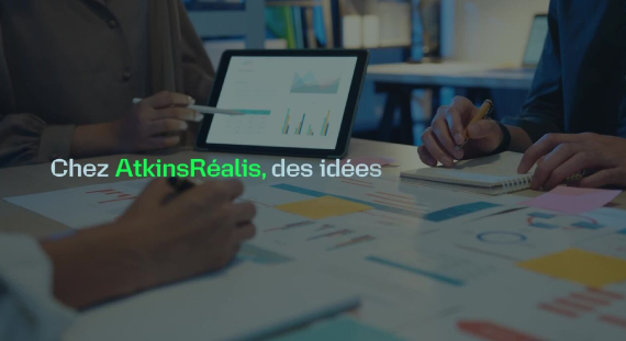
Faites rayonner votre carrière chez AtkinsRéalis
Notre culture axée sur le soutien et la collaboration nous inspire chaque jour en tant que communauté mondiale.
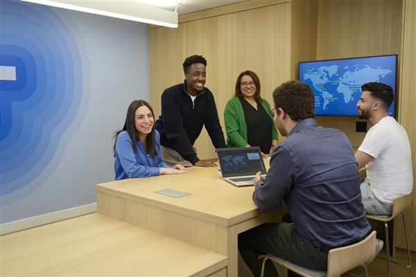
Regardez ce court film et imaginez tout ce que vous pourriez accomplir avec nous.
About AtkinsRéalis
We're AtkinsRéalis, a world-class engineering services and nuclear organization. We connect people, data and technology to transform the world's'infrastructure and energy systems. Together, with our industry partners and clients, and our global team of consultants, designers, engineers and project managers, we can change the world. We're committed to leading our clients across our various end markets to engineer a better future for our planet and its people.
#KARP
Emplois associés
Blogues associés
Bâtir des équipes solides et des communautés plus fortes : le parcours de Dhara chez AtkinsRéalis
Aujourd’hui, j’occupe le poste de gestionnaire, Infrastructures municipales – Ontario chez AtkinsRéalis, où je dirige une équipe multidisciplinaire de plus de 40 professionnels tout en supervisant la réalisation de projets complexes d’infrastructures municipales. Ce rôle me permet de combiner ma passion pour la livraison de projets avec mon engagement envers le développement et l’accompagnement des talents.
Alimenter les infrastructures majeures : Paul à la tête de l’ingénierie électrique en Colombie-Britannique
Je suis le responsable de l’ingénierie électrique pour la Colombie-Britannique chez AtkinsRéalis, où je dirige notre équipe électrique de Vancouver et soutiens la réalisation de projets d’infrastructure complexes.

Saeed : Concevoir les outils qui garantissent la sécurité du travail nucléaire
Saeed est ingénieur en outillage chez Candu Energy Inc., une société d’AtkinsRéalis, et contribue à certains des projets de réfection nucléaire parmi les plus vastes et les plus exigeants sur le plan technique.
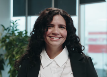
Au cœur des évaluations environnementales : le rôle essentiel de Nancy
Découvrez Nancy, planificatrice environnementale principale et gestionnaire de projet chez AtkinsRéalis.
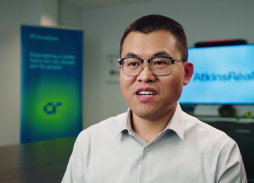
Au cœur de la sûreté nucléaire : l’expertise de Yang en génie civil
Découvrez Yang, ingénieur principal en génie civil nucléaire chez Candu Energy Inc., une filiale d’AtkinsRéalis.
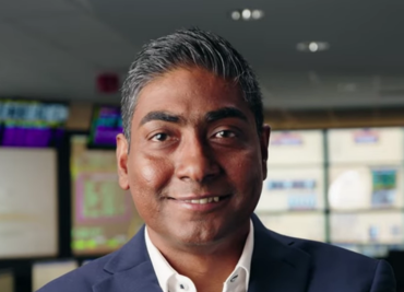
Souvik : leader nucléaire et mentor déterminé à façonner un avenir énergétique durable
Découvrez Souvik, directeur nucléaire de l’ingénierie des réacteurs au sein de la division Excellence en ingénierie.
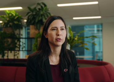
Claudia : des barrages qui alimentent nos communautés
Découvrez Claudia, ingénieure en structure spécialisée en barrages chez AtkinsRéalis.
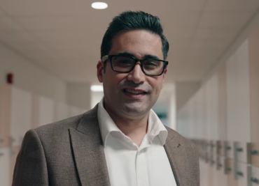
Amin : façonner l’avenir des infrastructures et des ressources en eau au Canada
Découvrez Amin, chef d’équipe en infrastructures municipales et responsable du groupe ressources en eau chez AtkinsRéalis.
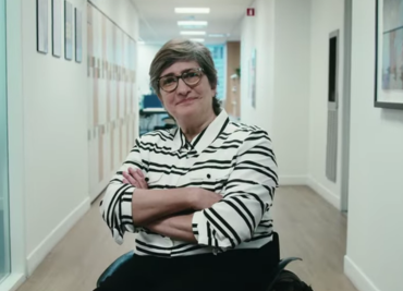
Hafsa : l’ingénierie du bâtiment portée par l’esprit d’équipe
Découvrez Hafsa, ingénieure mécanique du bâtiment chez AtkinsRéalis.
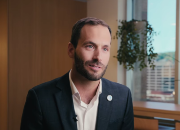
De l’ingénierie à la gestion : Jonathan au cœur du cycle de vie des projets
Découvrez Jonathan, ingénieur et gestionnaire en gestion de projet chez AtkinsRéalis.
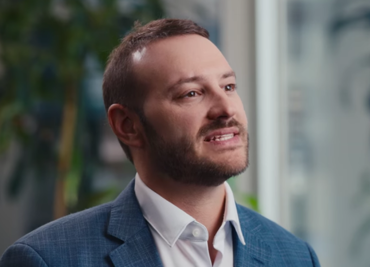
Construire la mobilité de demain : le parcours inspirant de Dominic chez AtkinsRéalis
Façonnez la mobilité de demain avec Dominic, ingénieur en structure spécialisé dans les ponts et ouvrages d’art chez AtkinsRéalis.
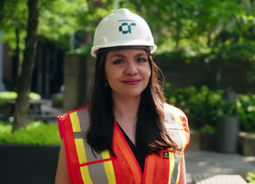
Frida : allier expertise technique et leadership, sans compromis
Rencontrez Frida, ingénieure en chef HVDC et FACTS chez AtkinsRéalis.