

Let’s find your next opportunity
AI Assistant: {{ chat.assistant.message }}
{{meta?.totalCount}}
results found
Sort By
{{ job.job_posting_title
}}
{{ job.job_posting_title }}
{{ job.is_cms_job ? (job.cities.split(';').length > 1 ? 'Various locations' : job.location_mappings[0]) : (job.location_mappings.length > 1 ? 'Various locations' : job.location_mappings[0]) }}

We are sorry there are no jobs that match your exact criteria. Try a new search term, or use the filters to continue browsing for available opportunities.
Suggested roles matches
{{ job.title }}
{{ job.title }}
{{ [job.cities[0], job.regions[0], job.countries[0]].join(', ') }}
Various locations
We are sorry there are no jobs that match your exact criteria. Try a new search term, or use the filters to continue browsing for available opportunities.
Let’s find your next opportunity
{{ job.job_posting_title
}}
{{ job.job_posting_title }}
{{ job.is_cms_job ? (job.cities.split(';').length > 1 ? 'Various locations' : job.location_mappings[0]) : (job.location_mappings.length > 1 ? 'Various locations' : job.location_mappings[0]) }}
On this page
Riyadh, Riyadh, Saudi Arabia
Overview
A Surveyor is responsible for measuring land, determining boundaries, and collecting precise data used for planning and executing construction, roadwork, infrastructure, and mapping projects.
Surveyors use specialized instruments such as Total Stations, GPS/GNSS, Auto Level, and digital mapping tools to provide accurate coordinates, elevations, levels, and site layouts.
Your role
- Conduct topographic surveys to map existing ground conditions.
- Perform leveling using Auto Level / Digital Level.
- Set out alignments, centerlines, offsets, and benchmarks for construction activities.
- Execute boundary surveys and verify land limits.
- Convert field measurements into drawings, maps, and digital models.
- Maintain survey records, field books, and daily logs.
- Submit, update, and verify as-built drawings.
- Work closely with site engineers, project managers, and design teams.
- Support execution teams with elevation checks, slope verification, and layout corrections.
Location
Riyadh, Riyadh, Saudi Arabia
Job Type
Full time
Ref
R-146225
Salary range
-
About you
- Proficiency in Total Station, GPS/GNSS, Auto Level, Laser Level.
- Understanding of topographic mapping, leveling, contouring, and volume calculation.
- Ability to interpret construction drawings and cross-sections.
- Experience with survey software such as: AutoCAD, Civil 3D, GIS tools, Survey data transfer software.

Why choose AtkinsRéalis?
Wherever you are in your career – and whoever you are – AtkinsRéalis is for you. Here, support and collaboration are a vibrant part of a culture that lets you choose where – and how far – your career can go. Take on projects that push boundaries and drive sustainable impact, surrounded by colleagues who believe there's no limit to how brilliant you can be. It's time to join a like-minded team where you'll be rewarded, supported, and free to be your kind of brilliant.
Rewards & benefits
Explore the rewards and benefits that help you thrive – at every stage of your life and your career.
This includes:
- Tax-free salary.
- Life insurance coverage.
- Medical insurance.
- Annual leave balance.
- Company gratuity scheme.
- Discretionary bonus program.
- Annual flight contribution.
- Transportation & housing allowances.
- Employee Wellbeing Program: 24/7 access to specialists in finance, legal matters, family care, personal health, fitness, and nutrition.
Make it brilliant, a career with AtkinsRéalis
Our supportive, collaborative culture inspires us as a global community every day.
Watch this short film and imagine what you could achieve here, too.
About AtkinsRéalis
We're AtkinsRéalis, a world-class engineering services and nuclear organization. We connect people, data and technology to transform the world's'infrastructure and energy systems. Together, with our industry partners and clients, and our global team of consultants, designers, engineers and project managers, we can change the world. We're committed to leading our clients across our various end markets to engineer a better future for our planet and its people.
#KARP
Related jobs
Related blogs
Mike on mega projects, reinvention, and aviation at Denver International
From mega projects to airport expansion, read how AtkinsRéalis helped Mike grow beyond project delivery.
From intern to project manager: Felix on nine years of building an aviation career
Meet Felix, a Project Manager helping shape the future of aviation through digital innovation and major airport projects across Texas.
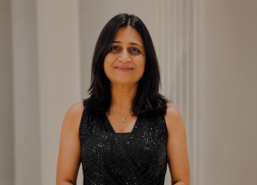
Building strong teams and stronger communities: Dhara’s career at AtkinsRéalis
Today, I’m the Manager, Municipal Infrastructure, Ontario at AtkinsRéalis, where I lead a multidisciplinary team of more than 40 professionals while overseeing the delivery of complex municipal infrastructure projects. It’s a role that allows me to combine my passion for project delivery with my commitment to supporting and developing people.
AtkinsRéalis named among the 50 GREAT British Employers of Veterans
Proven commitment to those who’ve served, see how AtkinsRéalis supports Armed Forces talent beyond words.
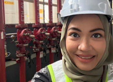
The lessons 23 years in engineering will teach you: Suraya Dolah’s story
Meet Suraya Dolah and read about her 23 year journey in engineering shaped by passion, resilience, and impact.

Chen Zhou on building better transit systems
Connecting people, operations, and infrastructure is what make transit work.

Not your typical engineering career: Danielle’s story across borders
Read how Danielle Lim‑Kwan built a truly global engineering career.
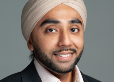
Powering major infrastructure: Paul on leading electrical engineering in British Columbia
I’m the Manager of Electrical Engineering for British Columbia at AtkinsRéalis, where I lead our Vancouver electrical team and support the delivery of complex infrastructure projects.
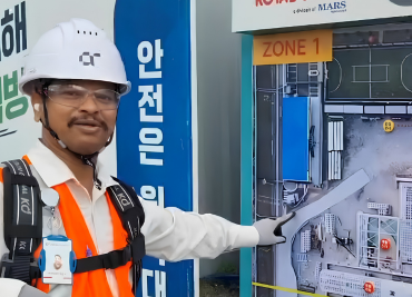
From India to South Korea: building a career in HSE on one of Asia’s biggest pet food expansions
Meet Ashish, and read about what it takes to lead HSE on a major construction project and why he’s invested his career in helping a multinational organisation operate safely.

From delivery to legacy: Smita on engineering what matters
From project delivery to quality leadership, Smita's journey has been guided by a simple belief: great engineering is not just about what we build, but the impact it leaves behind.

How Belal Deiranieh is shaping Middle East transportation.
Transportation is at the heart of the Middle East’s transformation. Discover how Belal Deiranieh will help drive the next phase of growth and connectivity at AtkinsRéalis.

From Pune to UK rivers: what Aishwarya’s intern work in water quality looks like.
At AtkinsRéalis, meaningful environmental impact can begin early in your career. As an intern in the Water Management Consultancy team, Aishwarya is helping assess water quality and pollution risks in UK rivers, applying her academic knowledge to real-world challenges that support healthier ecosystems and better environmental outcomes.