

Let’s find your next opportunity
AI Assistant: {{ chat.assistant.message }}
{{meta?.totalCount}}
results found
Sort By
{{ job.job_posting_title
}}
{{ job.job_posting_title }}
{{ job.is_cms_job ? (job.cities.split(';').length > 1 ? 'Various locations' : job.location_mappings[0]) : (job.location_mappings.length > 1 ? 'Various locations' : job.location_mappings[0]) }}
{{ job.time_type }}

We are sorry there are no jobs that match your exact criteria. Try a new search term, or use the filters to continue browsing for available opportunities.
Suggested roles matches
{{ job.title }}
{{ job.title }}
{{ [job.cities[0], job.regions[0], job.countries[0]].join(', ') }}
Various locations
We are sorry there are no jobs that match your exact criteria. Try a new search term, or use the filters to continue browsing for available opportunities.
Let’s find your next opportunity
{{ job.job_posting_title
}}
{{ job.job_posting_title }}
{{ job.is_cms_job ? (job.cities.split(';').length > 1 ? 'Various locations' : job.location_mappings[0]) : (job.location_mappings.length > 1 ? 'Various locations' : job.location_mappings[0]) }}
Zane is a Water Resources Engineer in our Overland Park, Kansas office. His models shape what communities know about their own flood risk, sometimes in places that had never been mapped at all.
A floodplain map looks like a technical document. For the community it covers, it works more like a set of instructions: where to build, what to protect, what to prepare for. Zane spends his days making sure those instructions are right.
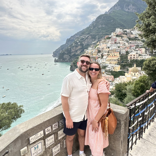
The work behind the map
His specialism is hydrologic and hydraulic modeling for floodplain mapping projects
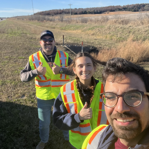
"As part of a multidisciplinary team, I work with a variety of datasets to accurately model large watersheds," he says. "Those models are then provided to our floodplain mapping team, who use the results to develop the final floodplain map products that help communities better understand and manage flood risk."
That modeling work has taken him across the Midwest and beyond: Kansas, Iowa and Nebraska, and further afield to Louisiana.
More than an insurance document
Ask most people what a floodplain map is for and the answer comes back the same way. Flood insurance.
"I think many people would assume a floodplain map is only tied to flood insurance," Zane says. "In reality there are many uses. Redesigning infrastructure like roads, dams and bridges. New construction. City and community planning. Disaster preparedness. Hazard mitigation planning. Natural resource management."
In other words, a great deal gets designed around that line on the map long before anyone thinks about a premium.
"These efforts support smarter planning decisions, improve risk management, and help property owners secure flood insurance when needed," he says. "They also provide valuable information that strengthens emergency preparedness and community resilience."
The same modeling feeds into roadway and infrastructure projects, particularly drainage. "By helping ensure infrastructure is designed with flood risks in mind, my work supports public safety, protects critical transportation routes, and promotes sustainable development that minimizes impacts on the surrounding environment."
It protects the landscape as well as the buildings. "Better understanding how water moves through a watershed supports sustainable land-use planning, protects natural floodplain functions, and can reduce impacts to environmentally sensitive areas."
Where the map runs out
Which is what makes the gaps matter.
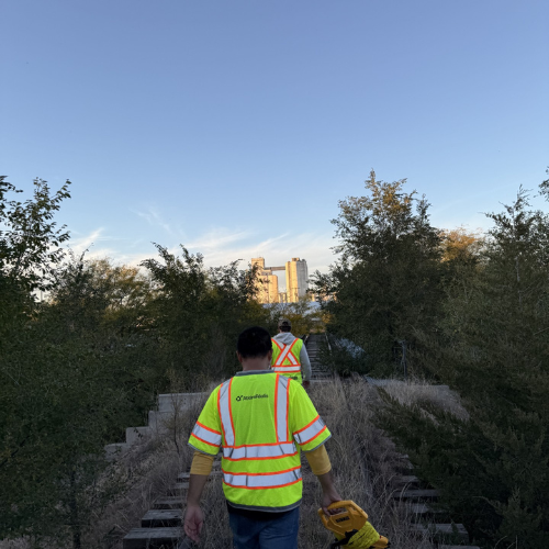
Not every part of the United States has an up-to-date flood map. Some places have never been mapped at all, and Zane's team builds those from scratch: his work includes "creating new mapping in areas where it did not previously exist."
Elsewhere the map exists but the ground beneath it has moved on. Plenty of rural mapping still in use today was drawn by hand, long before the 2D modeling standards Zane works to now.
Every road, bridge and building decision in those places is being made from a document that predates the tools we would use today.
That is the work. Not glamorous, rarely noticed, and quietly underneath a great many decisions.
More than a job title
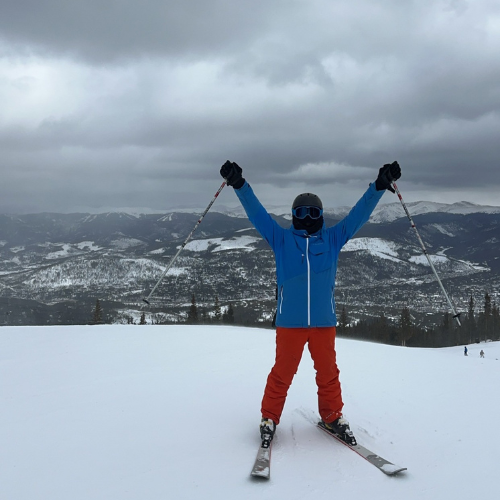
Zane's project work sits alongside a long list of commitments across the business, several of them well beyond his own discipline and his own region.
He is one of the Co-Leads of the U.S. Emerging Professionals Network, the employee resource group working to educate, engage and empower emerging professionals across the organization. He sits on the thought leadership team of the Water Global Technical Network, helping organize global technical webinars, and has done the same for the US Water Practice's regional webinar program. He is also part of the team delivering AtkinsRéalis' Sustainability Management Action Plan for the U.S.
What comes next for flood risk
"One area that I find particularly exciting is the future of floodplain mapping in the United States," Zane says.
One initiative he is watching is FEMA's Future of Flood Risk Data. It is still early in development, with no regulatory change behind it yet, but the concept points somewhere interesting: a picture of flood risk that goes beyond a single line on a map, taking in a broader range of hazards, probabilities and risk information rather than a simple in-or-out boundary.
"This evolution has the potential to empower communities, planners, and property owners to make more informed and resilient decisions."
Alongside it, he is watching engineering itself change shape.
"I am also particularly interested in the growing use of nature-based solutions to complement traditional infrastructure. Approaches such as floodplain restoration, wetland enhancement, and green stormwater infrastructure can help mitigate flood risks while providing environmental and community benefits."
The combination is what makes the timing feel right to him. "The ability to combine advanced modeling, innovative engineering, and sustainable, nature-based approaches creates exciting opportunities to develop solutions that are both effective and resilient."
Why he stays
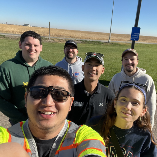
Two things stand out to Zane about working here. The first is that people get a route in."The company's support of Employee Resource Groups is a great example of this. ERGs help bring people together across backgrounds, experiences and career stages while reinforcing the belief that Different Makes a Difference and Everyone Belongs."
The second is how seriously technical knowledge is taken.
"Even highly specialized disciplines have thought leadership groups that identify best practices, drive innovation, and help shape initiatives that benefit both employees and clients. Combined with the Global Technical Networks, these groups foster collaboration and knowledge sharing across regions and disciplines, allowing us to learn from one another and leverage expertise from around the world."
And underneath both, a pair of values he keeps coming back to.
"While all of the company's values resonate with me, Safety and Integrity are the two that stand out most. They reflect a strong commitment to respect, accountability, and doing the right thing, whether it's supporting our employees, serving our clients, or making decisions that have a lasting impact."
Want to work on the projects communities depend on? Explore water careers in the US.
Related blogs
You don't have to be an engineer to build a career in water
Meet Grace and read how she is helping shape safer, stronger communities through water projects.
Meet Grace Morris: Shaping Environmental Policy and Coastal Resilience
Find out how Grace Morris launched her career at AtkinsRéalis.
Related jobs

Everyone belongs
We empower each individual to shine and contribute to our collective impact. We believe in the power of unique perspectives. It’s how we’re engineering a better future every single day.